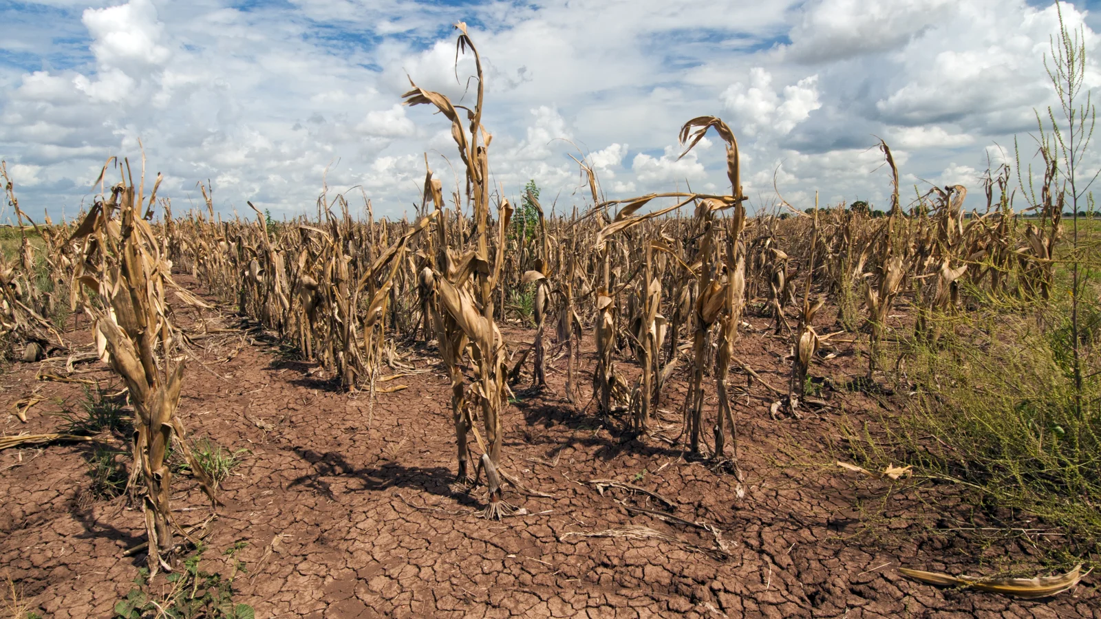
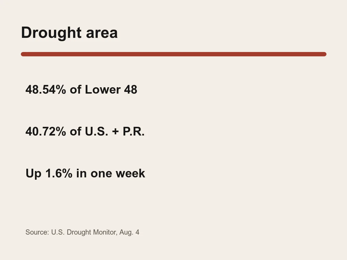
Drought covered 48.54% of the Lower 48 states as of Aug. 4, up again as conditions deteriorated across parts of the Plains and Northwest, according to the U.S. Drought Monitor.
Including Alaska, Hawaii and Puerto Rico, 40.72% of the area was in moderate drought or worse. That national share increased 1.6% from the previous week and 2.9% from a month earlier.
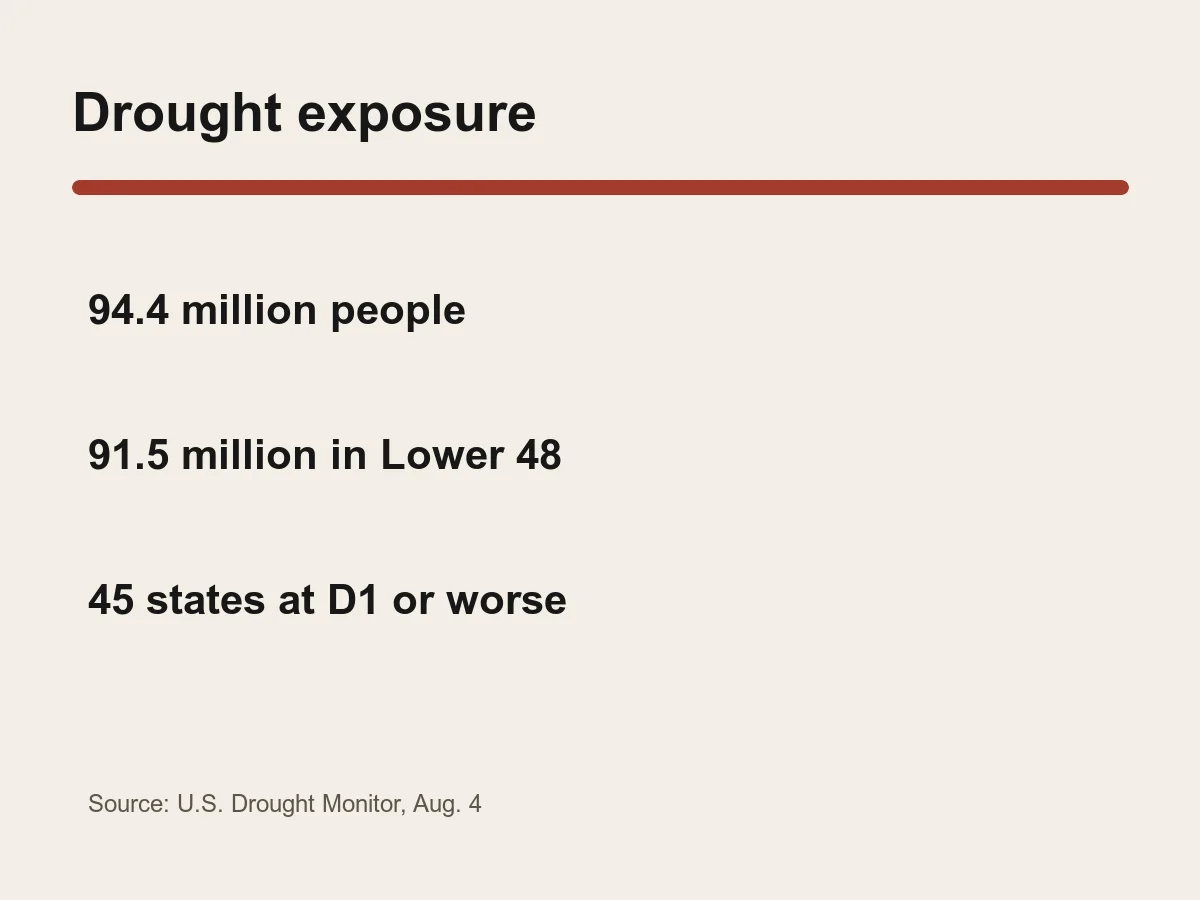
The weekly summary estimated that 94.4 million people in the United States were affected, including 91.5 million in the Lower 48. Forty-five states had at least some area in moderate drought or worse.
Drought worsened again in the Northern Plains and began deteriorating in the Southern Plains. The Northwest also continued to worsen during the July 29-Aug. 4 reporting period.
The Eastern United States, Central Plains, Upper Midwest and Interior West recorded improvement. A national percentage can therefore rise even while some regions get relief.
The Drought Monitor uses five categories, from abnormally dry through exceptional drought. The headline area share counts moderate drought, labeled D1, or worse and does not include the D0 category.
The map is produced jointly by the National Drought Mitigation Center, USDA, NOAA and NASA. Authors combine physical indicators such as precipitation and soil moisture with reports from local observers.
Drought classifications are updated every Thursday using data valid through Tuesday morning. They are a weekly synthesis, not a forecast or a direct measure of economic loss.
The Aug. 4 snapshot establishes the scale at that date. Conditions, population exposure estimates and affected-state counts can change with each weekly release.