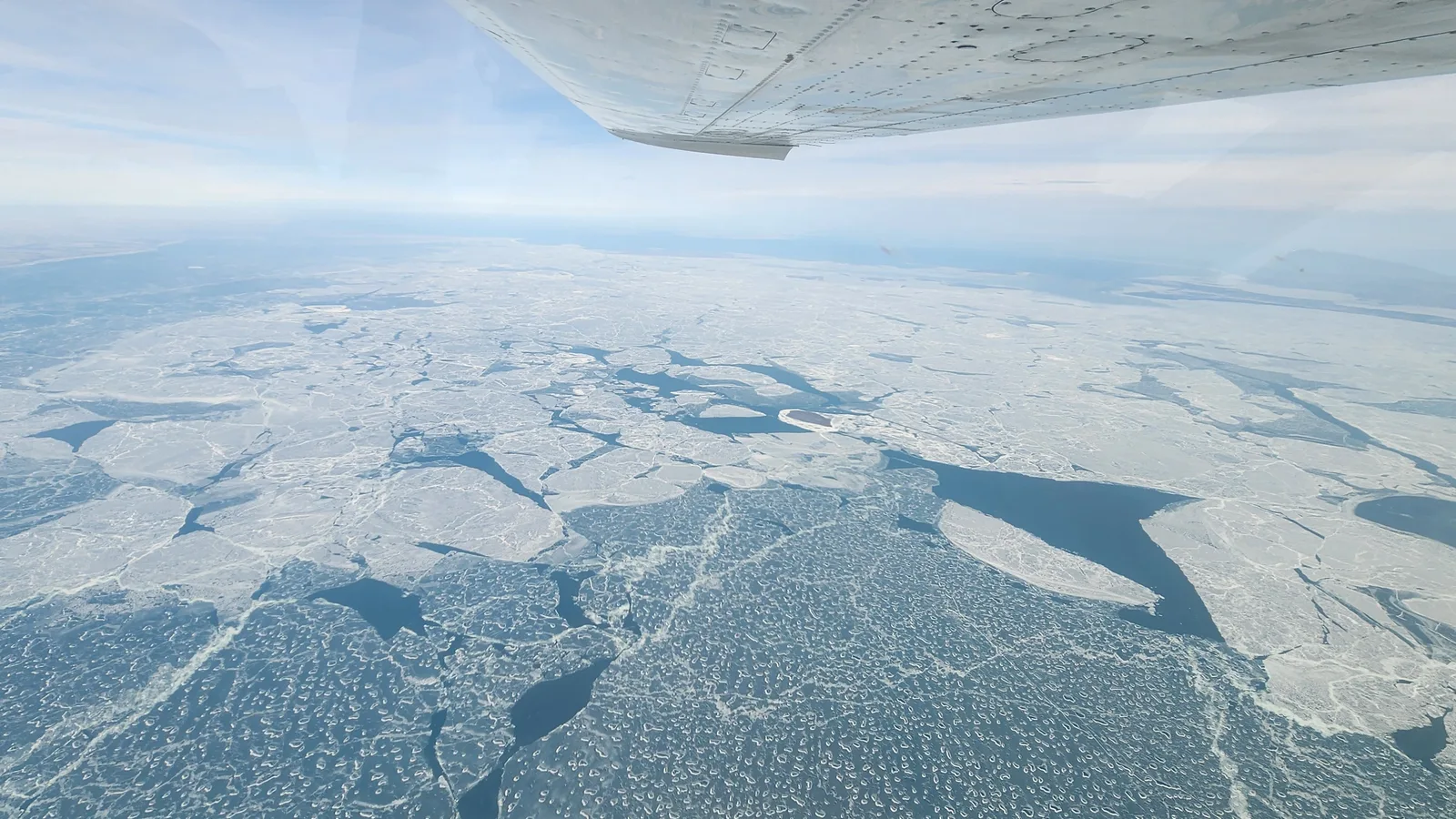
NOAA researchers are testing hyperspectral cameras aboard small aircraft and drones to capture Great Lakes ice conditions at greater detail than conventional images provide.
The Great Lakes Environmental Research Laboratory began exploring winter ice flights in 2024 after using hyperspectral imagery for more than a decade to monitor harmful algal blooms in warmer months.
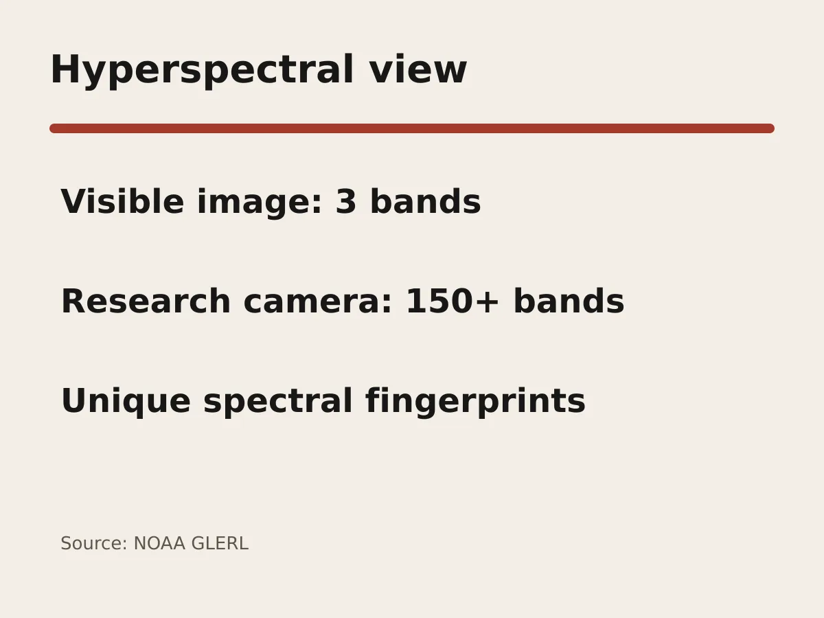
A conventional digital image records red, green and blue light. GLERL's camera captures more than 150 bands, including near-infrared wavelengths, producing a three-dimensional data cube in which materials can be identified by distinct spectral fingerprints.
During its most recent ice-flight mission, a Cessna 210 followed a planned survey route at 10,500 feet. Researchers also established an aerial drone program in 2024 to collect much lower-altitude, higher-resolution observations.
The extra detail matters because lake conditions can change quickly. GLERL showed ice sheets shifting across one Lake Erie camera view over three hours as wind and currents moved them.
Satellites and numerical models already track ice using radar, visible and infrared information. NOAA says satellites provide periodic snapshots, while models need accurate observations for validation; airborne data are being explored as a supplement, not a replacement.

Researchers are testing deep-learning methods on the 150-band imagery to classify features such as open water and different ice conditions. Training those systems requires ground-truth observations and repeated validation.
NOAA says better ice information could aid forecasting, ecology and commercial navigation. Great Lakes freighters move nearly 200 million tons of material a year, but the agency has not yet quantified how much the experimental system would improve forecasts or reduce costs.
The project remains research. Its value will depend on whether airborne and drone observations can be collected consistently, validated against conditions on the water and integrated into operational ice products.